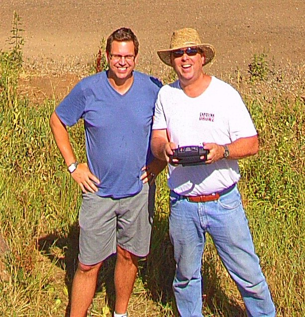
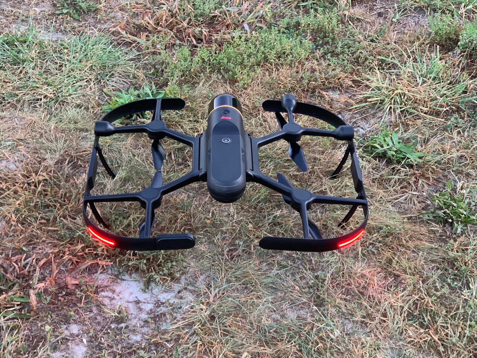
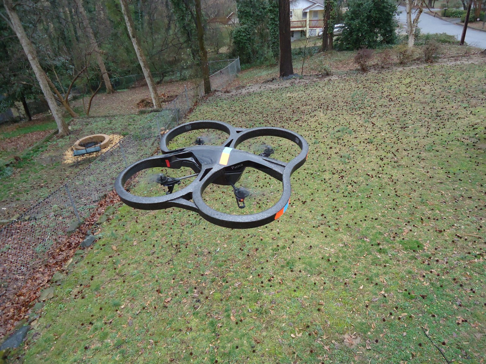
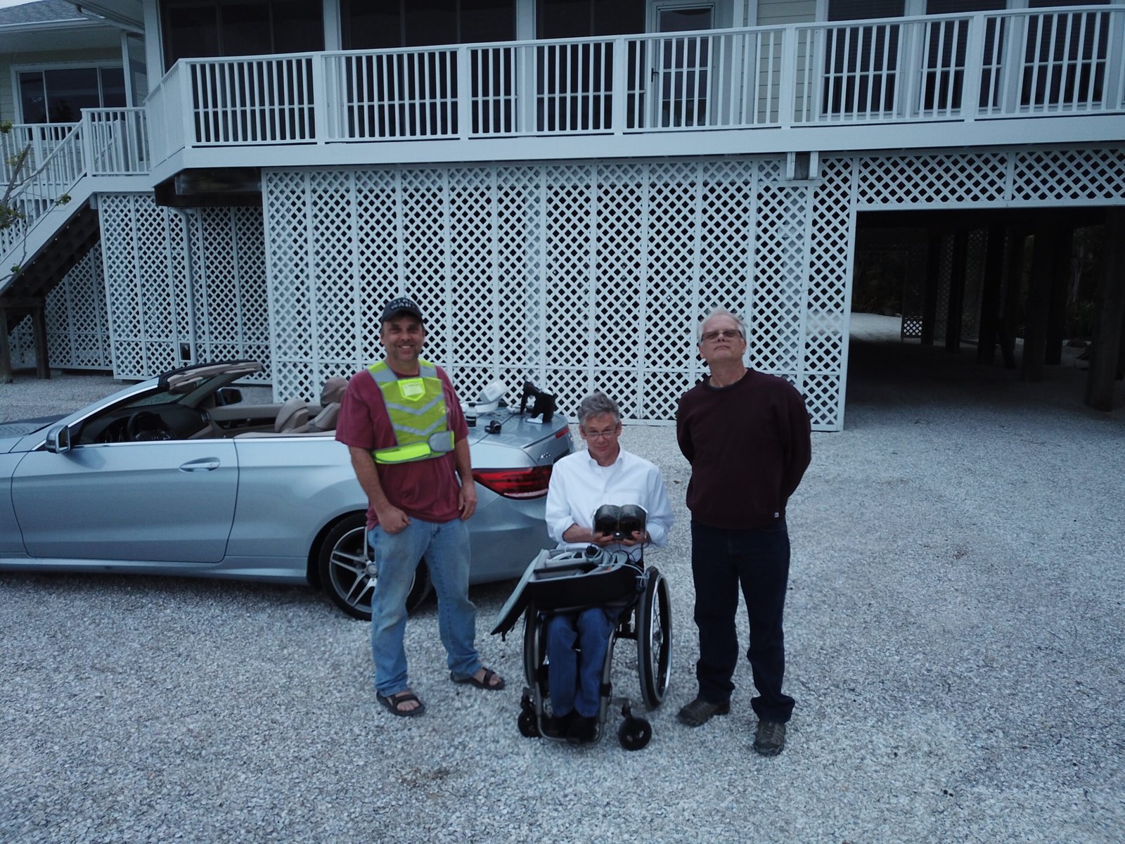
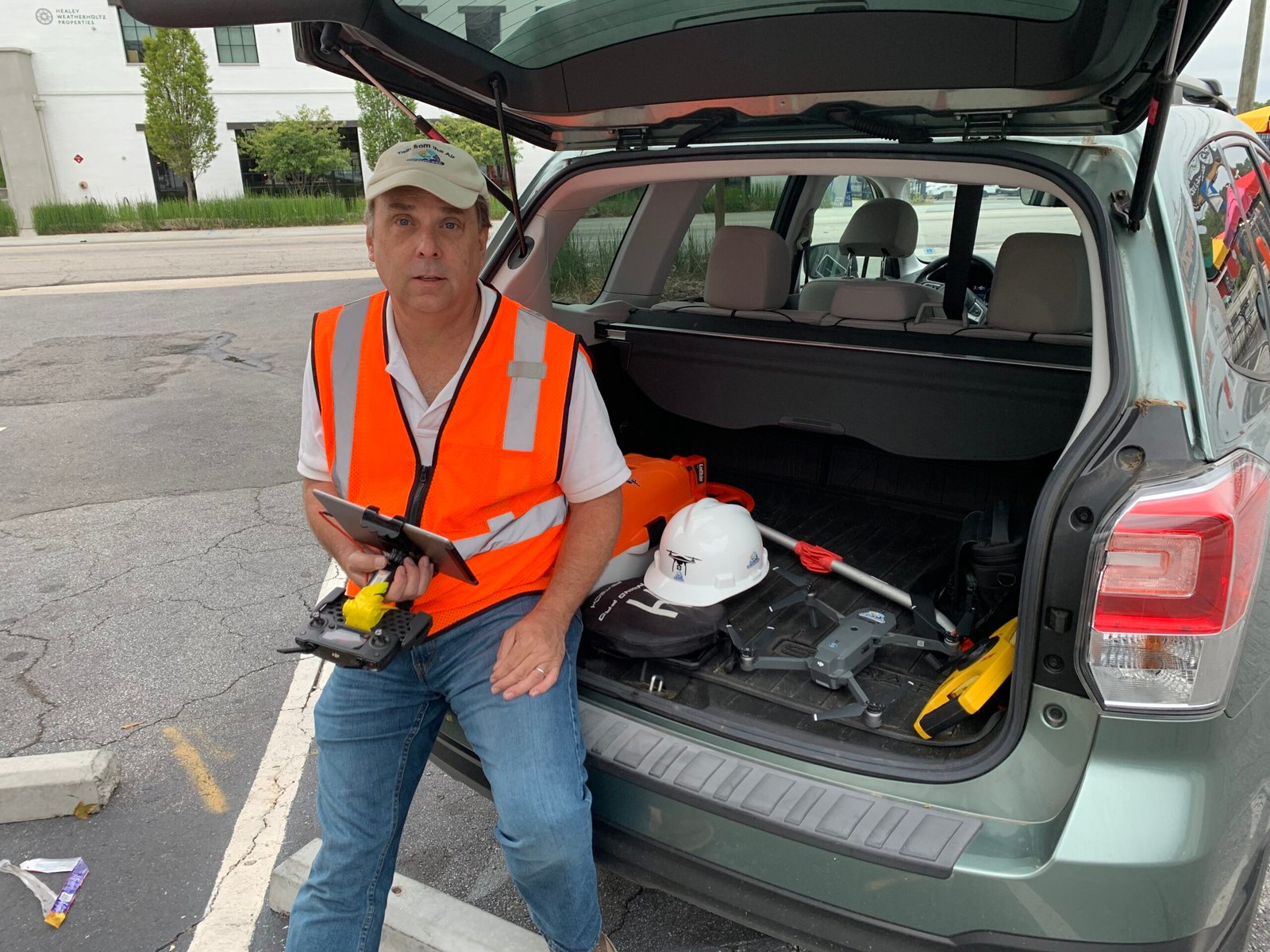
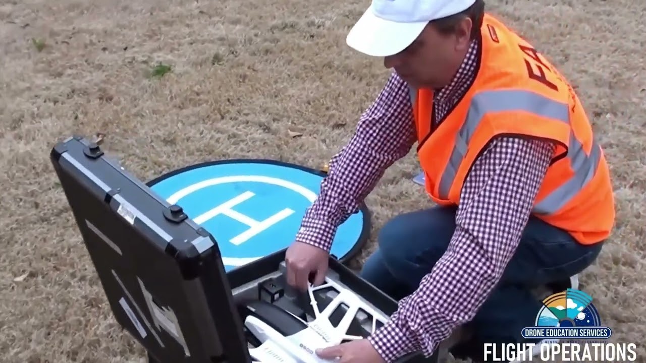
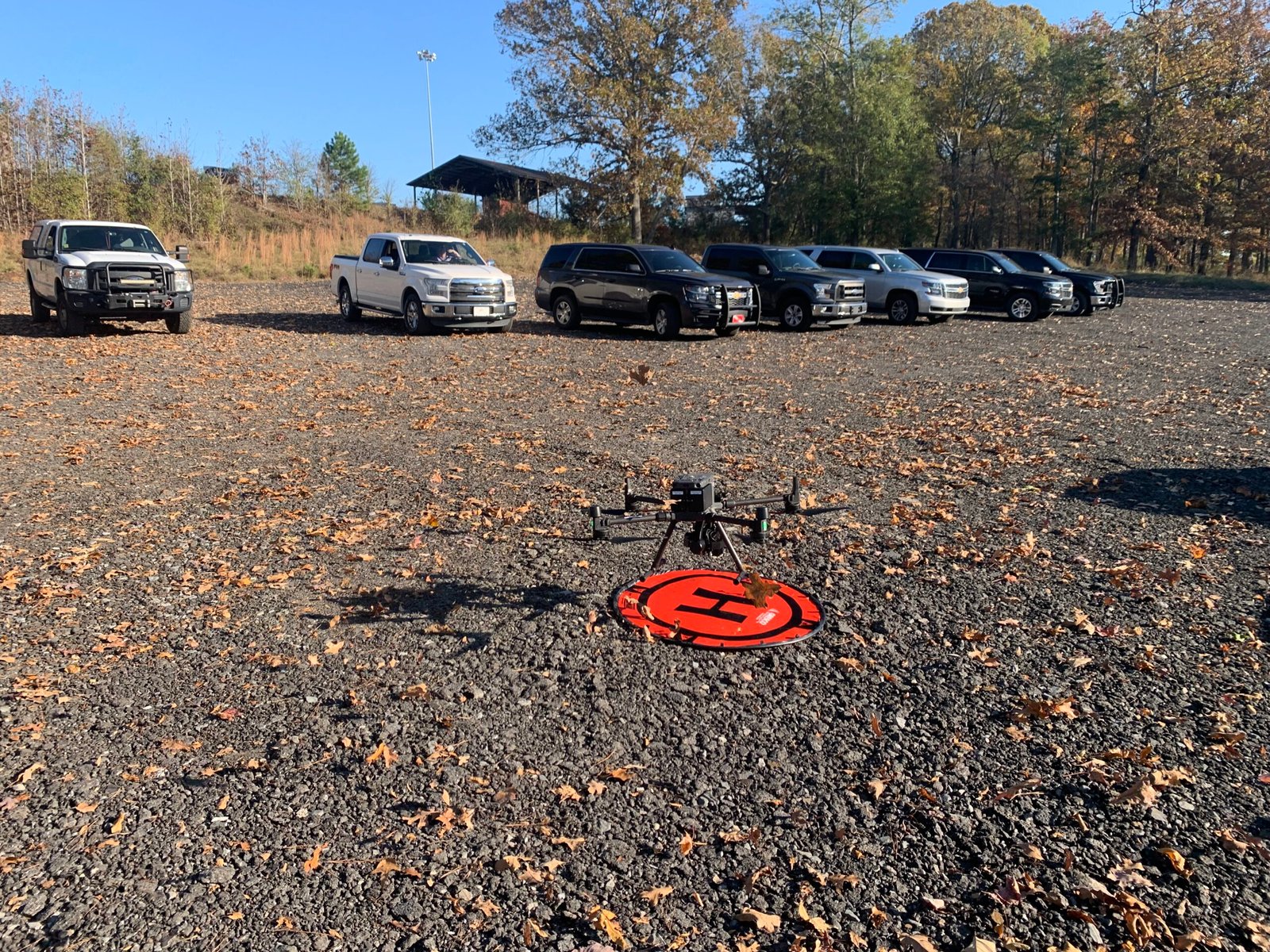
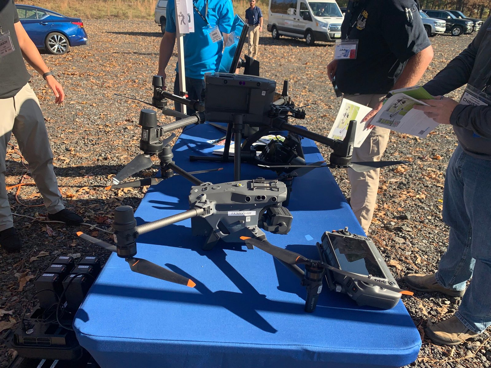
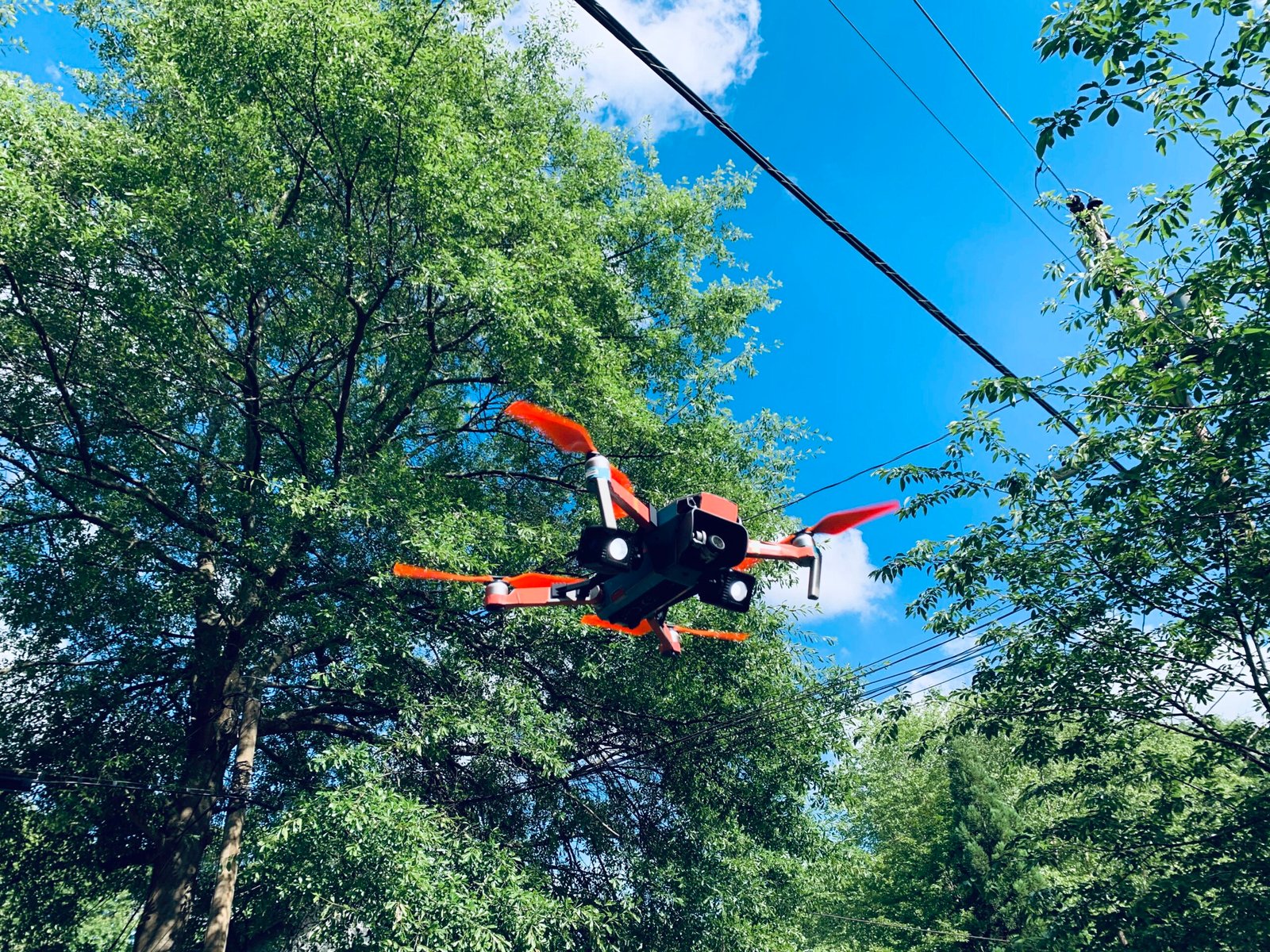
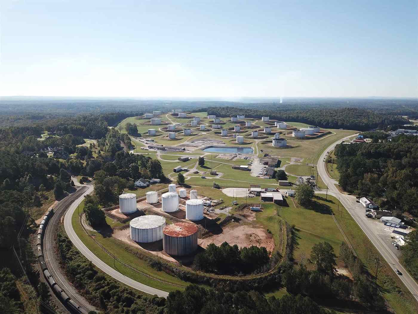
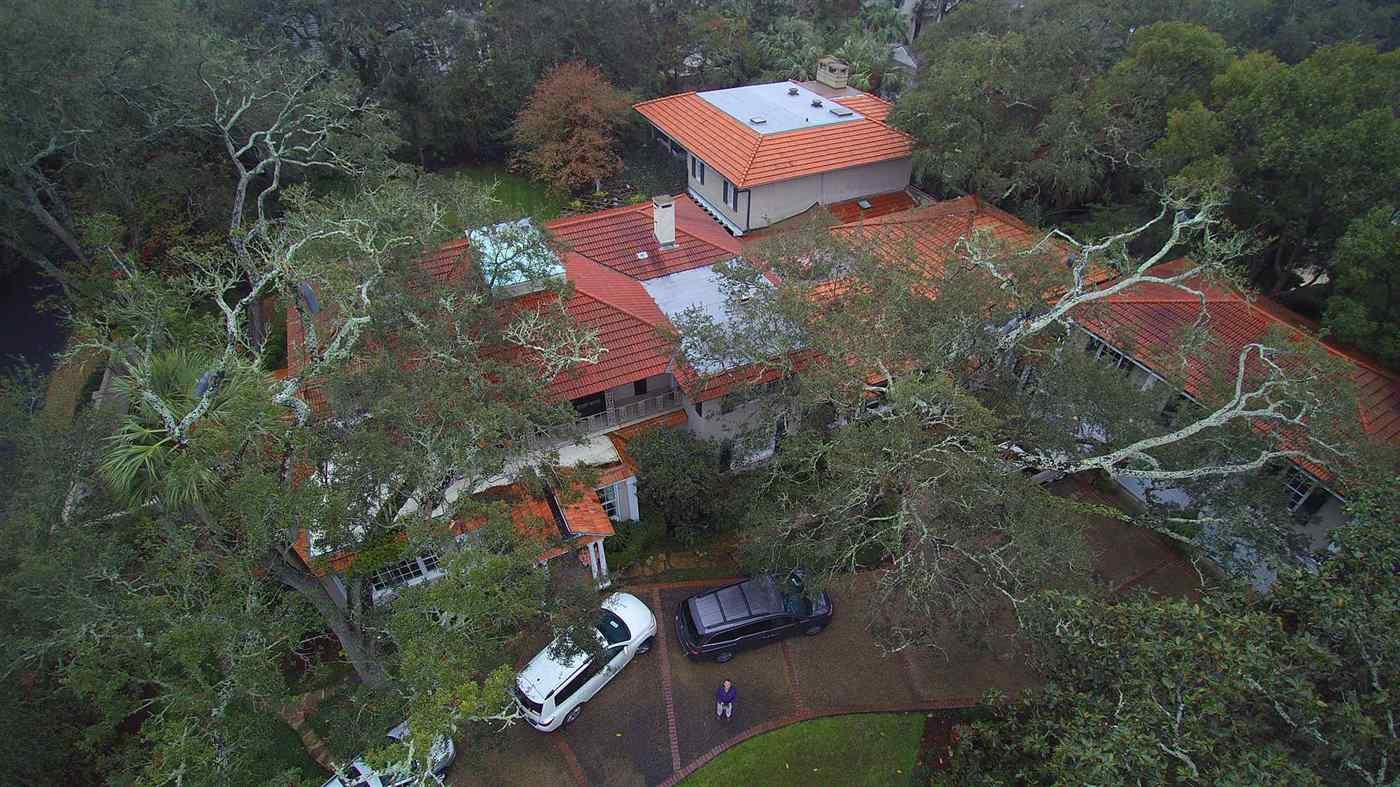
Maps, Measurements, and Modeling unlock powerful insights for real estate professionals through aerial photogrammetry. Since 2019, I’ve been testing various mapping platforms to better understand how drone technology can support data-driven decisions in the field.
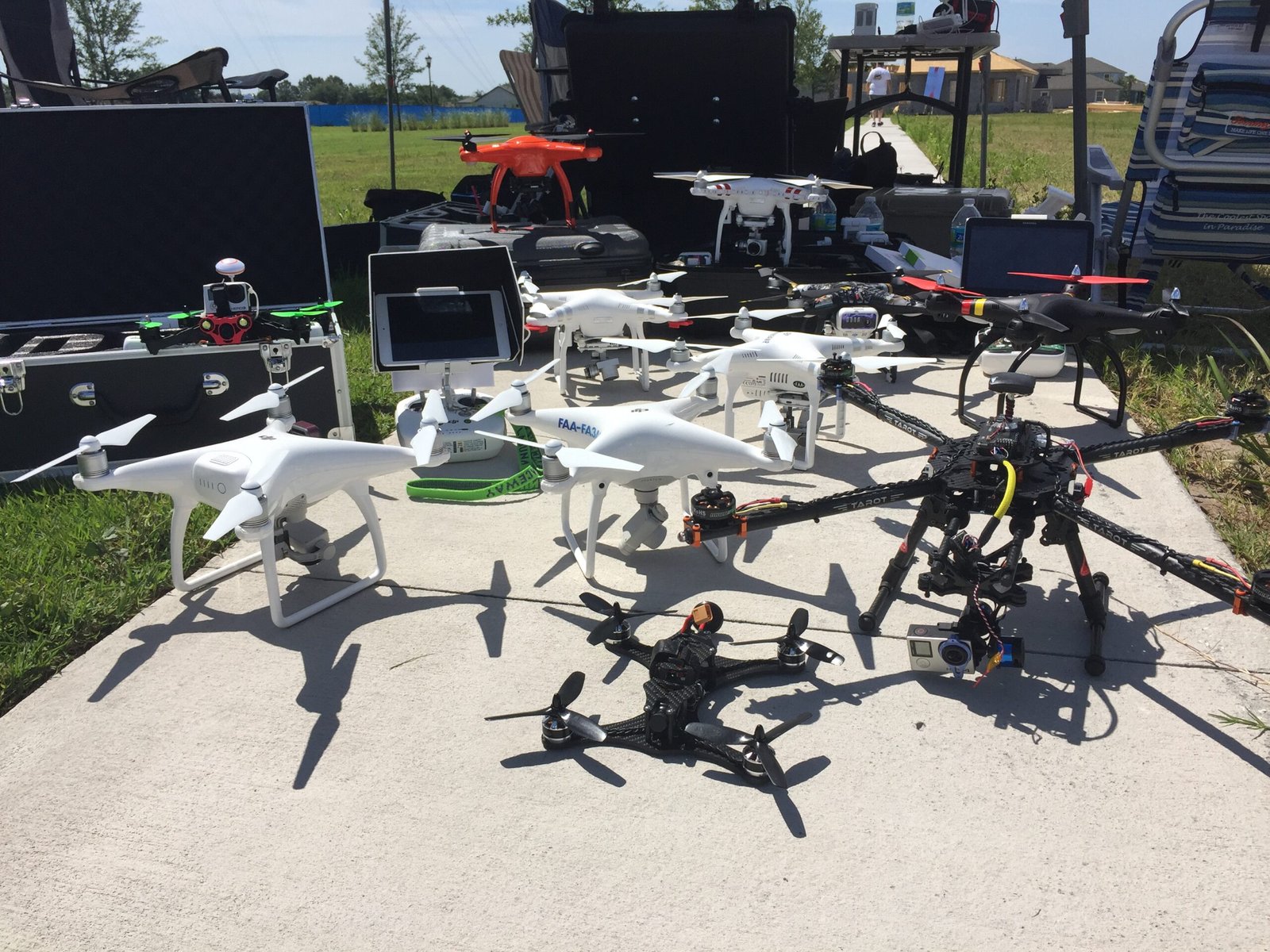
As part of my research, I’ve explored a variety of software tools including DroneDeploy, Pix4D, Maps Made Easy, Skyline Software, Zephyr, and even programs still in BETA development. Each platform offered a unique approach to creating orthomosaics, 3D models, elevation maps, and measurement tools—and testing them has helped me to identify their strengths and limitations across real-world applications.
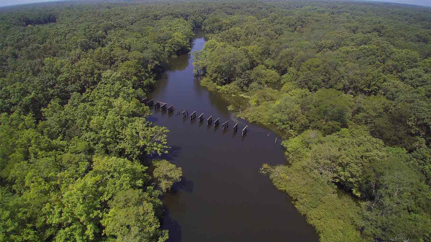
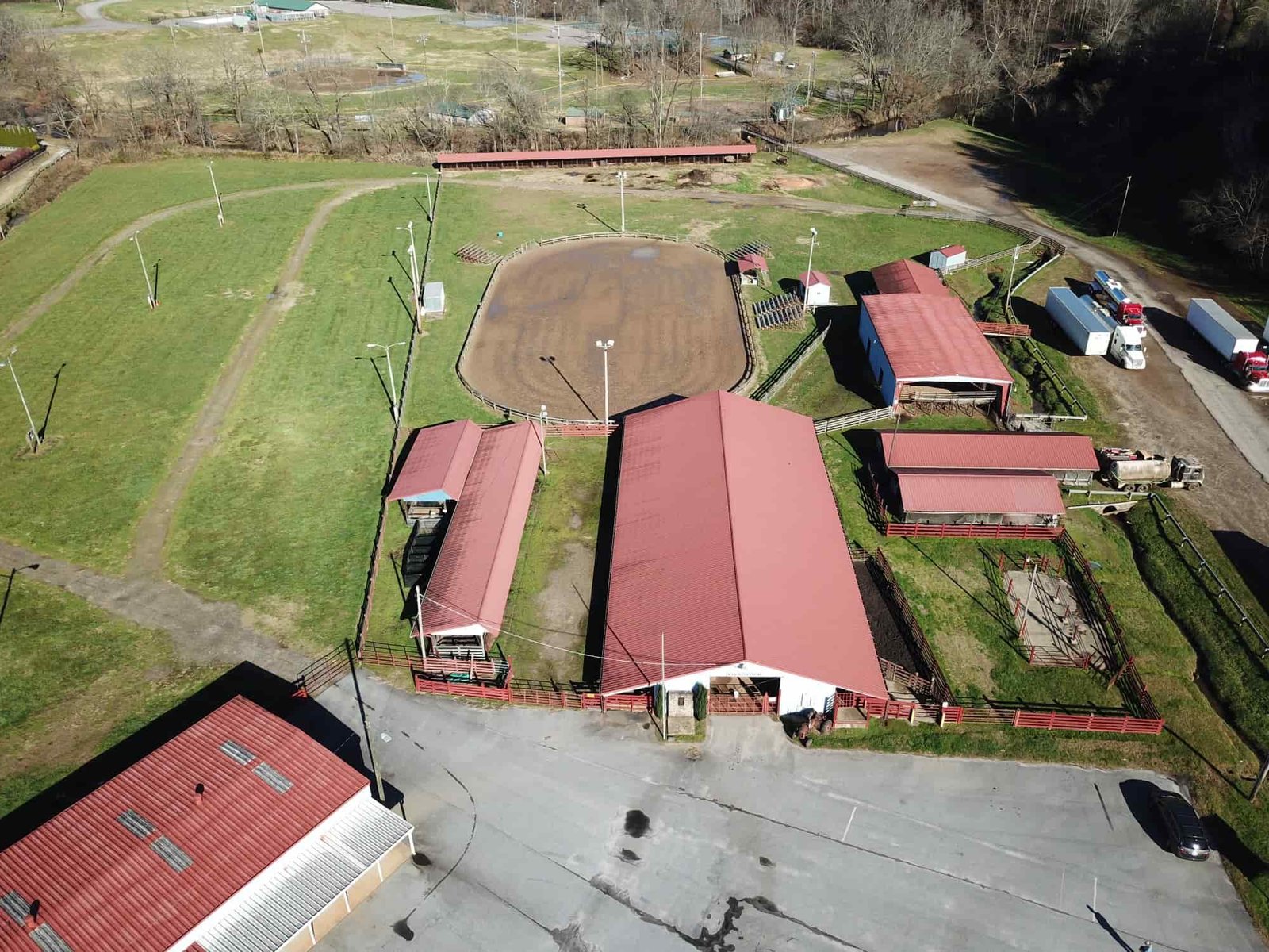
The maps and models I’ve developed are the result of hands-on experimentation during this testing phase. They are not intended as endorsements, but rather as examples of what’s possible or not possible for me. It was a fun journey. I encourage you to explore different programs yourself to build confidence, develop technical skills, and begin delivering meaningful aerial products for your clients.
Maps, Measurements, and Modeling are reshaping the way we visualize, measure, and model the world around us.


